‘Water Typing’ & Fish Passage Surveys
Past work by Tribes and Wild Fish Conservancy in Washington State has documented high rates of map errors in stream maps used to safeguard salmon habitat. In Oregon, similar challenges with stream maps often leave threatened fish populations at risk to development and other land uses.

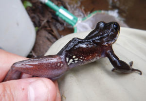
Northern red-legged frog
Working with Multnomah County Water Quality Program and Wild Fish Conservancy, Ted helped complete fish distribution surveys of upper Johnson Creek and Beaver Creek (Sandy River tributary) watersheds, as well as fish passage surveys at Multnomah County-owned stream crossings. Ted has also worked with Johnson Creek Watershed Council to survey and prioritize fish-blocking culverts, the results of which are guiding ongoing fish passage restoration work.
More recently, Ted authored an overview of the variety and challenges with different regulatory water typing systems in Oregon for the Oregon Stream Protection Coalition. A follow up working white paper focuses on the administration and pitfalls of the Oregon Department of Forestry regulatory stream maps.
UGI has a continuing interest in this work, and is interested in exploring additional partnerships with watershed councils, conservation advocates, agencies, and others.

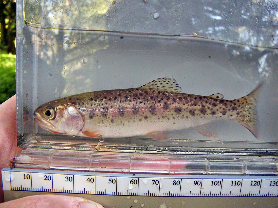
Coastal cutthroat trout
Within the Portland-Vancouver region, Ted Labbe has worked with various partners to field-truth and upgrade regulatory stream maps in Salmon Creek (Clark County, Washington) as well as Beaver and Abernethy creeks, and lower Molalla River tributaries (all north Clackamas County). The results of this work were submitted to state and local agencies to improve on-the-ground habitat protections and management for at-risk fish populations and other stream/riparian species.

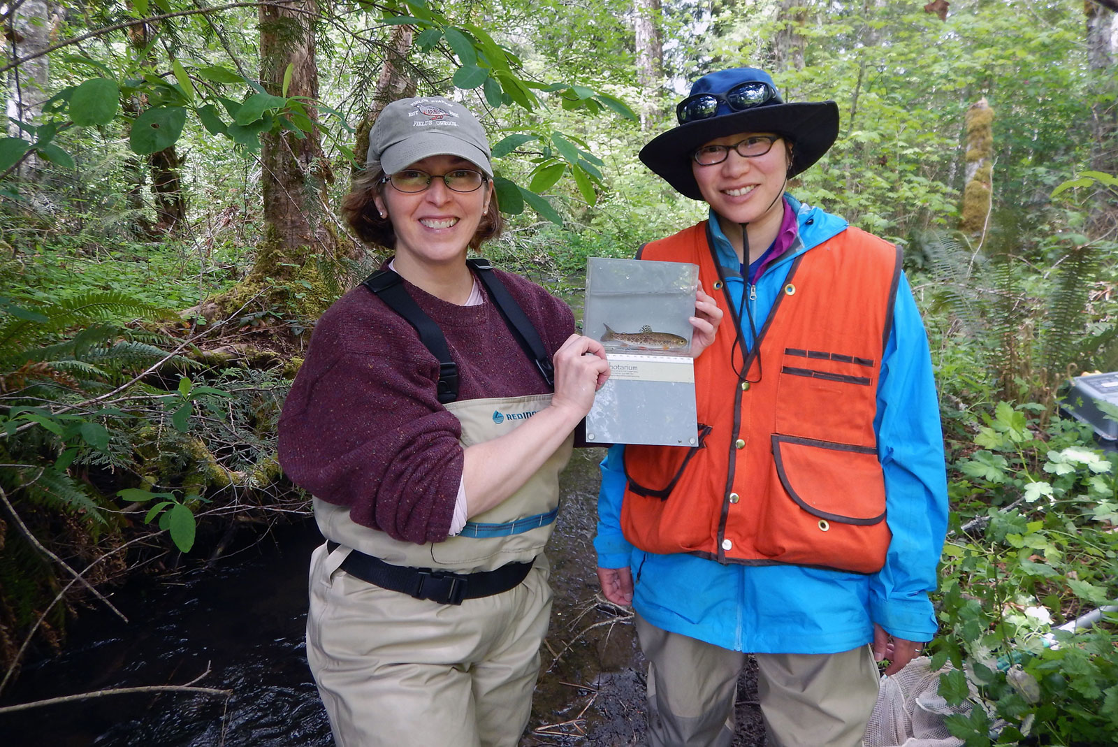
Molalla River watch volunteer and Asako Yamamuro (right)